Makes geojson from EXIF data.

Project description
# photos2geojson Searches recursively for photos and generates geojson map
### Install:
` $ pip3 install photos2geojson --user `
### Usage:
` $ photos2geojson ~/Dropbox/ `
This will create file map.html that you can view in Browser (Firefox preferably as chrome might not display image orientation correctly).
Alternatively you might wish to create a Github Gist which will render the geojson:
` $ photos2geojson ~/Dropbox/ -g `
If you only want the geojson you can do it like this:
` $ photos2geojson ~/Dropbox/ -o data.geojson `
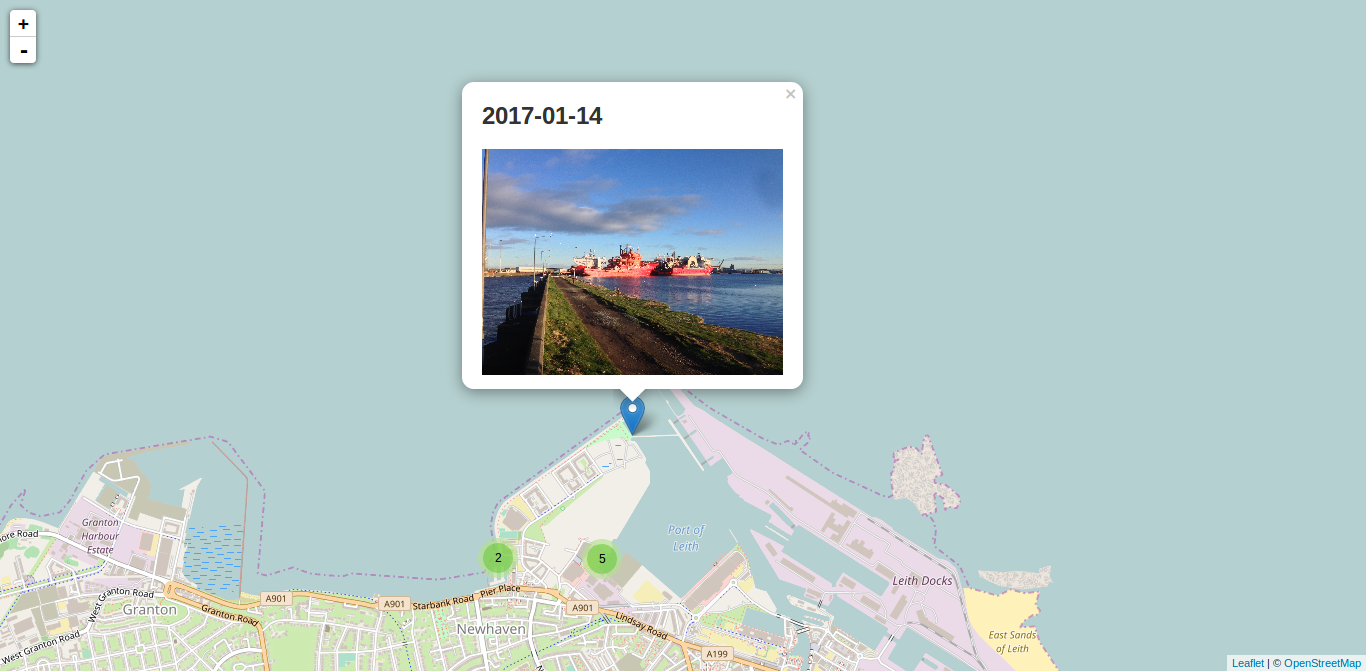
Screenshot of leaflet:


Download files
Download the file for your platform. If you're not sure which to choose, learn more about installing packages.
Source Distribution
Built Distribution
Hashes for photos2geojson-1.2-py2-none-any.whl
| Algorithm | Hash digest | |
|---|---|---|
| SHA256 | 92e519bf1d0281447f824757522433c62898253331d02e5979c0eff0ee41d381 |
|
| MD5 | cd801dfadc79909e83da61de533a3d28 |
|
| BLAKE2b-256 | fe8b06af280d2bf352af8e2235f076c2d4dbc792c565bff173eeb3a49a16f5d8 |


