A Python package for interactive mapping using Google Earth Engine and ipyleaflet


Project description
geemap


Authors: Dr. Qiusheng Wu (https://wetlands.io)
A Python package for interactive mapping using Google Earth Engine, ipyleaflet, and ipywidgets.
GitHub repo: https://github.com/giswqs/geemap
Documentation: https://geemap.readthedocs.io
Free software: MIT license
Contents
Features
Automatically converts Earth Engine JavaScripts to Python scripts and Jupyter Notebooks.
Adds Earth Engine tile layers to ipyleaflet map for interactive mapping.
Supports Earth Engine JavaScript API functions in Python, such as Map.AddLayer(), Map.setCenter(), Map.centerObject(), Map.setOptions().
Captures user inputs and query Earth Engine objects.
Plots charts based on Earth Engine data.
Installation
To install geemap , run this command in your terminal:
pip install geemapIf you have Anaconda or Miniconda installed on your computer, you can use create conda Python environment to install geemap:
conda create -n gee python
conda activate gee
pip install geemap
If you have installed geemap before and want to upgrade to the latest version, you can use the following command:
pip install geemap -To install the development version from GitHub, run this command in your terminal:
pip install git+https://github.com/giswqs/geemapExamples
The following examples require the geemap package, which can be installed using pip install geemap. Check the Installation section for more information.
Converting GEE JavaScripts to Python scripts and Jupyter notebooks
Launch an interactive notebook with Google Colab, mybinder.org, or binder.pangeo.io. Keep in mind that the conversion might not always work perfectly. Additional manual changes might still be needed. ui and chart are not supported. The source code for this automated conversion module can be found at conversion.py.
import os
from geemap.conversion import *

# Create a temporary working directory
work_dir = os.path.join(os.path.expanduser('~'), 'geemap')
# Get Earth Engine JavaScript examples. There are five examples in the geemap package folder.
# Change js_dir to your own folder containing your Earth Engine JavaScripts, such as js_dir = '/path/to/your/js/folder'
js_dir = get_js_examples(out_dir=work_dir)

# Convert all Earth Engine JavaScripts in a folder recursively to Python scripts.
js_to_python_dir(in_dir=js_dir, out_dir=js_dir, use_qgis=True)
print("Python scripts saved at: {}".format(js_dir))

# Convert all Earth Engine Python scripts in a folder recursively to Jupyter notebooks.
nb_template = get_nb_template()  # Get the notebook template from the package folder.
py_to_ipynb_dir(js_dir, nb_template)

# Execute all Jupyter notebooks in a folder recursively and save the output cells.
execute_notebook_dir(in_dir=js_dir)
Interactive mapping using GEE Python API and geemap
Launch an interactive notebook with mybinder.org or binder.pangeo.io. Note that Google Colab currently does not support ipyleaflet. Therefore, geemap won’t be able to display interactive maps on Google Colab.
import ee
import geemap

try:
        ee.Initialize()
except Exception as e:
        ee.Authenticate()
        ee.Initialize()

# Create an interactive map
Map = geemap.Map(center=(40, -100), zoom=4)
Map

# Add Earth Engine dataset
image = ee.Image('USGS/SRTMGL1_003')

# Set visualization parameters.
vis_params = {
        'min': 0,
        'max': 4000,
        'palette': ['006633', 'E5FFCC', '662A00', 'D8D8D8', 'F5F5F5']
}

# Print the elevation of Mount Everest.
xy = ee.Geometry.Point([86.9250, 27.9881])
elev = image.sample(xy, 30).first().get('elevation').getInfo()
print('Mount Everest elevation (m):', elev)

# Add Earth Engine layers to Map
Map.addLayer(image, vis_params, 'SRTM DEM', True, 0.5)
Map.addLayer(xy, {'color': 'red'}, 'Mount Everest')

# Set center of the map
Map.centerObject(ee_object=xy, zoom=13)
Map.setCenter(lon=-100, lat=40, zoom=4)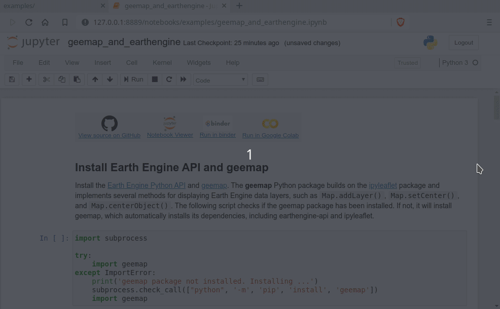
Dependencies
Reporting Bugs
Report bugs at https://github.com/giswqs/geemap/issues.
If you are reporting a bug, please include:
Your operating system name and version.
Any details about your local setup that might be helpful in troubleshooting.
Detailed steps to reproduce the bug.
Credits
This package was created with Cookiecutter and the audreyr/cookiecutter-pypackage project template.
History
0.2.0 (2020-03-17)
0.1.0 (2020-03-08)
First release on PyPI.
Release history Release notifications | RSS feed


Download files
Download the file for your platform. If you're not sure which to choose, learn more about installing packages.
Source Distribution
Built Distribution
Hashes for geemap-0.3.0-py2.py3-none-any.whl
| Algorithm | Hash digest | |
|---|---|---|
| SHA256 | 5103c634d2a5f5955a6d48cbcf66400c094183afed3130c8b303accac1870ee5 |
|
| MD5 | a171f685e184bcfc215b5ff080bd12ef |
|
| BLAKE2b-256 | 2a0d5228388d3b95d4964f77ab2a77c8ffd5911215e80eddda2cba456ba3b4ee |


