Wagtail-Geo-Widget is the complete map solution for your Wagtail site.


Project description


Wagtail-Geo-Widget
Wagtail-Geo-Widget is the complete map solution for your Wagtail site.
Features
- Supports Google Maps or any tile provider supported by Leaflet (such as Open Street Map or Mapbox)
- Real spatial support (with GeoDjango and PointField)
- Storing coordinates as strings (for no-GeoDjango setups)
- StreamField integration
- Searching with geocoding (supports Google Geocoding, Nominatim and Mapbox)
- Inline panel support
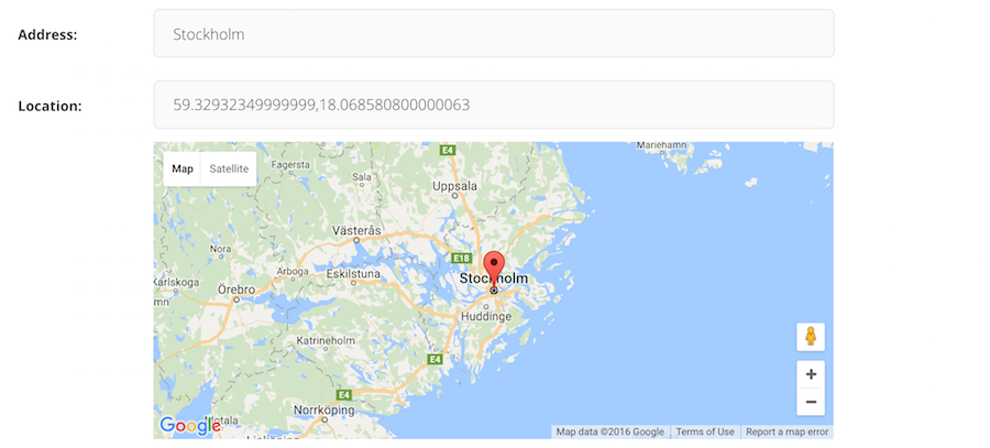
- Optional address search field
- Language support
Documentation
- Getting started with Google Maps
- Getting started with Leaflet
- Settings
- Adding the widget to a Page
- Integrating with GeoDjango
- Adding to a StreamField
- Supported Geocoders
- FAQ
Contribute
If you have ideas for improvement, please share your thoughts through an issue. We also welcome PR's
- Issue Tracker: https://github.com/Frojd/wagtail-geo-widget/issues
- Source Code: https://github.com/Frojd/wagtail-geo-widget
- Contribution documentation
Security
If you believe you have found a security issue with any of our projects please email us at security@frojd.se.
License
Wagtail-Geo-Widget is released under the MIT License.
Release history Release notifications | RSS feed


Download files
Download the file for your platform. If you're not sure which to choose, learn more about installing packages.
Source Distribution
wagtailgeowidget-8.0.0.tar.gz
(17.9 kB
view hashes)
Built Distribution
Close
Hashes for wagtailgeowidget-8.0.0-py3-none-any.whl
| Algorithm | Hash digest | |
|---|---|---|
| SHA256 | 59eb0c4261c3be92af5a8d3db006c374f38c8a0a84ae3b0b8de51c1370991810 |
|
| MD5 | 31316653317ae411ff5c965c7a7f9198 |
|
| BLAKE2b-256 | 057801356974d24b398a01de4793969a183e3a8b0426431c7f7da01371ccf925 |


